Purpose before take-off
We agree what needs to be seen and how the finished material will be used.
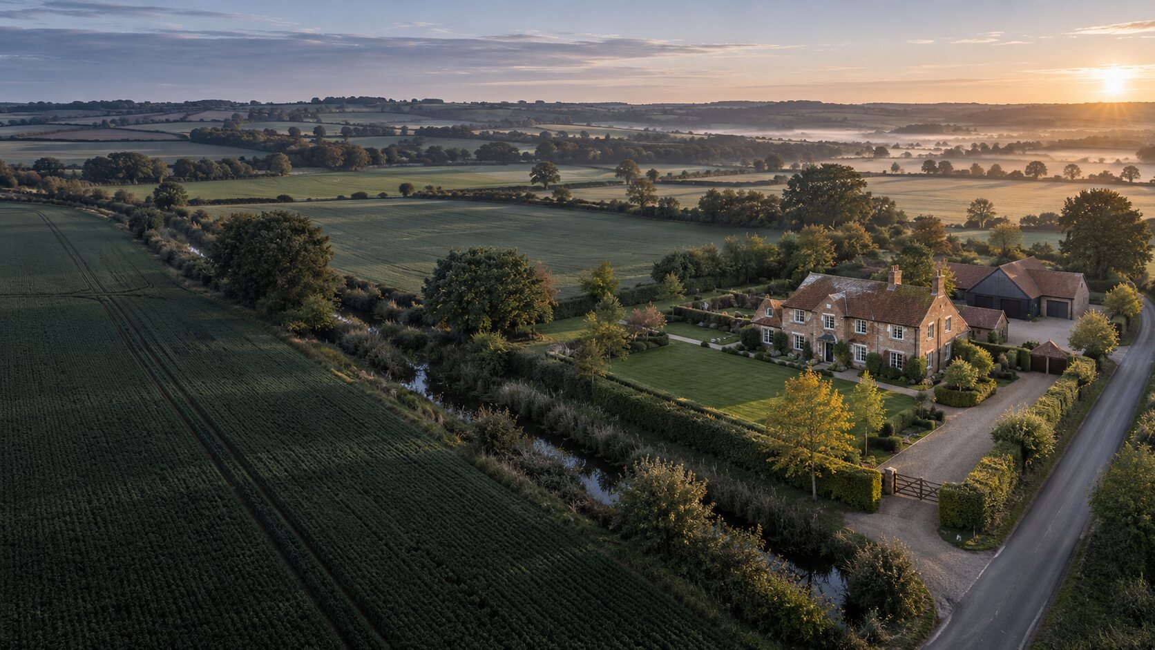
Professional aerial services across Lincolnshire
Roof and commercial inspections, property photography, construction records and aerial mapping—captured carefully and presented professionally.
Representative imagery
One local point of contact
High-resolution imagery
Professional visual reports
Planned, safe & considered
Choose a service
The website is organised into clear service pages, so you can find the right information without working through one long page.
High-resolution visual inspections and professionally presented photographic reports.
View serviceGround and aerial photography presenting a property, its grounds and wider setting.
View serviceConsistent milestone imagery for project records, updates and comparison.
View servicePlanned aerial capture, asset annotation and clear working records.
View service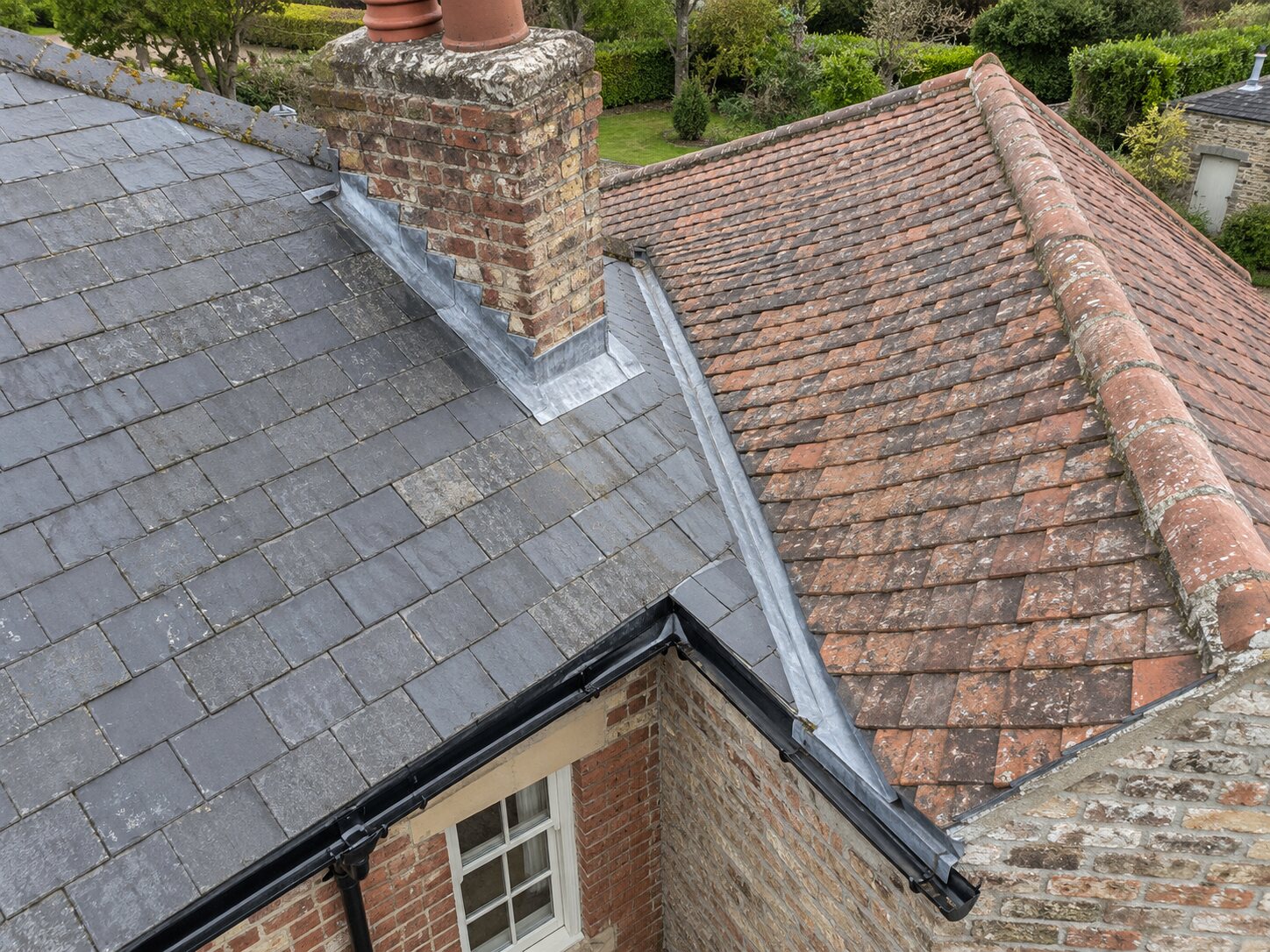
Inspection and reporting
Close-up imagery, referenced observations and annotated photographs are organised into a professional visual record that can be reviewed and shared.
Explore inspectionsWhy Wolds & Vale
A drone is only the camera. The value is in knowing what to capture, presenting it clearly and giving you material that supports the next decision.
We agree what needs to be seen and how the finished material will be used.
Wide views explain the site while close views record the important areas.
Edited imagery is organised and supported by clear reporting where requested.
A straightforward local service for residential, rural, commercial and public-sector sites.
Professional connections
Working alongside trusted organisations across Lincolnshire.
 LWR Group
Start with the location
Email the postcode, a photograph if available and a short description of what you need to see. We’ll confirm whether drone work is suitable and explain the clearest option.
Emailenquiries@woldsandvaleaerial.co.uk Telephone07510 555260