Define the area
We agree the site boundary, assets to be recorded, required views and final format with the relevant team.
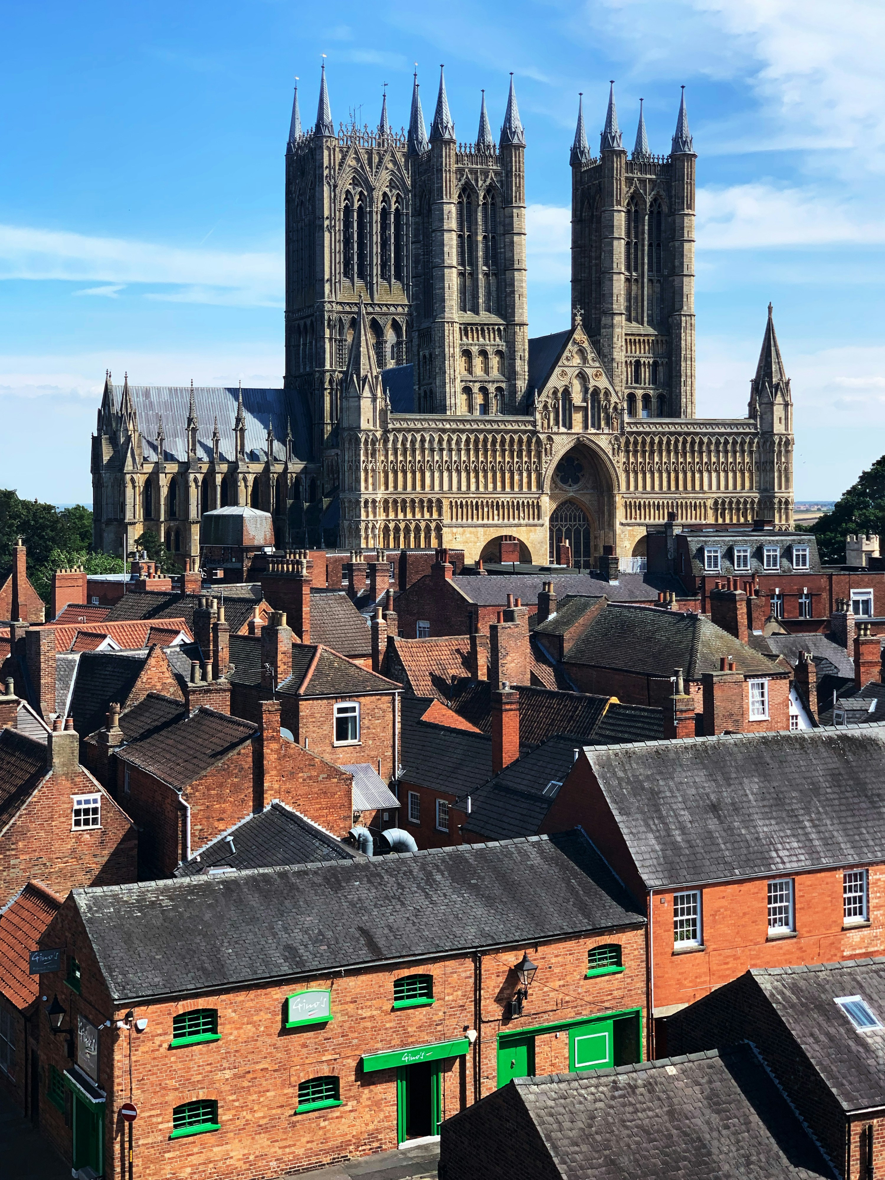
Council & public-sector mapping
Clear imagery, mapped assets and professional annotation for teams that need to understand and share a site.
A structured mapping service
We support councils and public bodies with planned aerial photography, roof and building imagery, clear site annotation and accessible visual records.
We agree the site boundary, assets to be recorded, required views and final format with the relevant team.
The location and airspace are assessed before consistent aerial imagery is collected, supported by ground observations where required.
Imagery is organised to identify roofs, elevations, public assets, access points, boundaries, vegetation or visible defects.
High-resolution images and a professional PDF plan can be shared with officers, contractors and stakeholders.
Roofs & buildings
Asset locations
Land & boundaries
Project records
Services are scoped to the client’s requirements. Annotated visual mapping is not a legal boundary or measured topographical survey unless specialist survey control is specifically commissioned.
Practical applications
Our mapping is designed as a clear visual working record—not simply a folder of aerial photographs.
Discuss a mapping briefRoutes, entrances, working areas and surrounding context.
Visible watercourses, culverts, outfalls and related assets.
Roof areas, elevations, boundaries and external features.
Dated records for planning, review and contractor coordination.
Start with the location
Email the postcode, a photograph if available and a short description of what you need to see. We’ll confirm whether drone work is suitable and explain the clearest option.
Emailenquiries@woldsandvaleaerial.co.uk Telephone07510 555260